
I made two posts at Demography Matters about Malta, that Mediterranean archepelagic republic that has been ensconced since 2004 in the European Union and now finds itself identified as a southern bulwark of Europe against Africa. That’s how it’s seen now: my second post of the day related the story of how a century ago, a poor and overpopulated Malta provided large numbers of immigrants to the adjacent French-conquered territories of North Africa. One century, a source of migrants and a support of colonialism, the next, a destination of migrants and supposed target for empire; life changes.
Malta’s changing perception comes down to maps, really.
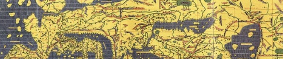
I’m a fan of maps–Frank Jacobs’ Strange Maps and Jonathan Crowe’s The Map Room are both highly recommended map blogs–because of the different things they can show in different ways.
On the grossest scale there are maps which set out to show different things through different methods. I can have a map of Toronto using census data (even the poor stuff we’ll be getting now) showing incomes and ethnic compositions and populatino densities of neighbourhoods; I can have a map showing Toronto’s steady aggregation through the course of different annexations and amalgamations; I can have a simple, direct, street map. Each of these maps show different things, each produced for a different user.
But there are also subtler mental maps, predispositions to view the world in certain ways which predisposes the map user to see some patterns and not others, to identify certain relationships as important and to ignore altogether others. Let’s go back to Malta, via Eric Gaba’s map of the Mediterranean with political boundaries. on top of cloudless satellite imagery. I’ve edited it somewhat, highlighting certain sets of relationships and identities that some people might assign to Malta. The small light green circle surrounding the archiepelago reflects Malta’s identity as small and unique, isolated in the Mediterranean on its small land base and with its unique culture; the large purple circle to denote Malta’s location within a sort of Italian sphere of influence, more vestigial than before, thankfully, when Italy lay claim to Malta (and the other territories within the circle) as rightfully Italian regardless of local opinion; red denotes Malta’s links with North Africa, low key and unemphasized but real as evidenced by the Semitic Maltese language and the apparent popularity of post-independence Malta’s flirtations with a radically anti-colonial Libya; black, to show Malta’s location within the European Union, its hoped-for final destination. Different people can agree that Malta is located at 35°53′N 14°30′E and disagree on the relative importance of the different human factors–language, religion, migration, history, trade, politics–which assign meaning to those geographic coordinates.
As goes Malta, so too the world. My other co-writers here can testify as to the dominance of maps by interpretations elsewhere, The Obertamtmann perhaps on the question of the Rhine as internal German river or Franco-German frontier delimiter, or Jussi on the long-standing debate as to what was the easternmost point of Finland and Finnish culture. You can think of examples too, I`m sure, from your own personal or communal experiences.

Pingback: On maps and territories and their slippery relationships | History and Futility